Drone Capture for Surveyors & Engineers
Add drone capacity to your team without adding equipment, pilots, or headcount.
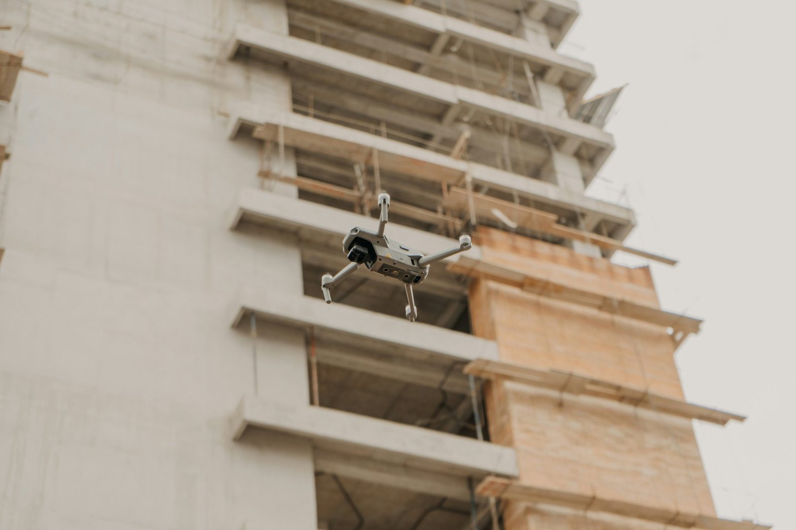
Your standards. Our flight crew.
We work as a field partner to licensed surveying and engineering firms. Your licensed professional sets the project parameters, directs the work, and reviews and approves everything delivered. We plan and fly the mission to your specifications and hand off the data in the format your team requires.
Built for:
- Licensed land surveying firms
- Civil and geotechnical engineering firms
- Firms needing extra field capacity during busy seasons
What we capture
Flight planning to your specs
Coverage, overlap, altitude, and timing set to your project requirements.
Enterprise-grade capture
Commercial DJI drone equipment with RTK positioning, flown by FAA Part 107 certified pilots.
Clean data handoff
Organized raw imagery and flight records, delivered the way your team works.
Repeatable scheduling
One-time projects or recurring flights on your timeline.
All survey-related work is performed under the responsible charge of the client's licensed professional. Siteview Co. does not provide land surveying services.
Ready to schedule a flight?
Tell us about your project and we'll put together a quote that fits your schedule.